Who's My Provider? Look up an address →
National map of U.S. utility service territories
● The project

Mapping who actually provides America's utilities.

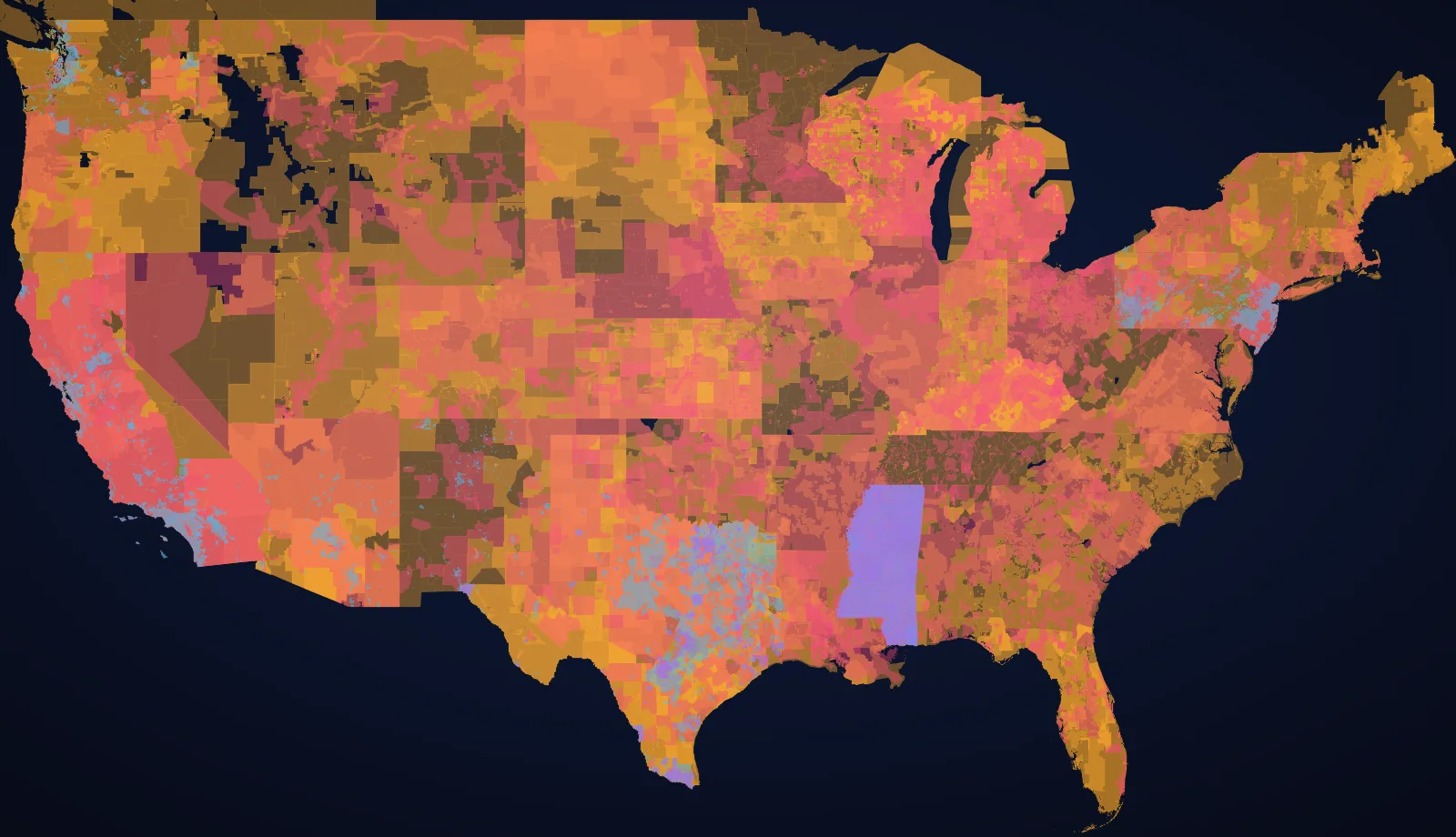
Utilities are a patchwork. The company that delivers your electricity, the system that treats your water, and the pipe that carries your gas are each drawn on a different, invisible map — and almost nobody can tell you where the lines are. We collected those maps. All of them we could find.

67,000+
providers & systems
1.6M+
boundary coordinates
50
states
6
utility types

What this is

One honest answer for any U.S. address.

Who's My Provider? takes any U.S. address and tells you who delivers your electricity, water, wastewater, natural gas, internet, and trash — resolved from authoritative public data, with a confidence level and contact info for each. No account, no paywall, no ads dressed up as answers.

Behind that simple search is, to our knowledge, one of the largest openly-accessible aggregations of U.S. utility service-territory data anywhere: tens of thousands of provider and system boundaries, stitched together from federal datasets and state regulator GIS into a single, queryable map of the country.

By the numbers

What's in the dataset.

8,900+

Electric service territories — a national layer plus authoritative boundaries from 22 state energy commissions and PUCs.

20,900+

Community water systems, from state drinking-water boundary programs — the most fragmented layer by far.

2,700+

Natural-gas service areas, national plus state-certificated territories where regulators publish them.

2,300+

Wastewater / sewer territories — rare public data; most states don't publish sewer-provider boundaries at all.

2,000+

Internet providers resolved per-place from the FCC National Broadband Map, split by technology.

Nationwide

Trash & recycling, interpolated from municipal jurisdiction and census-place boundaries.

What the data shows

Patterns you can only see once it's all in one place.

Water is America's most fragmented utility.

In just the eight states where we hold authoritative water-system boundaries, there are already 20,000+ distinct community water systems. Nationally the EPA counts roughly 50,000 — versus only about 3,000 electric utilities. Cross one street and your water can come from an entirely different system with its own rates, pipes, and quality reports. Electricity consolidated over a century; water never did.

Electricity: a few giants, a thousand small towns.

The map of electric territories is bimodal. A handful of investor-owned utilities blanket the dense metros and serve most of the country's customers, while cooperatives cover the largest share of its land — vast rural territories — and municipal utilities dot the map as city-run islands. Most of the ~8,900 territories we map are small; a few cover millions.

The broadband paradox: lots of ISPs, few real choices.

Across 32,000+ places we see nearly 2,000 distinct internet providers — yet at most addresses you still get only one or two wired options. The biggest cable companies, Charter and Comcast, each reach only about a quarter of places. What's now nearly universal is from above: satellite (Starlink, Viasat, EchoStar) reaches 95%+ of places. The competition you actually have depends entirely on which technologies reach your block.

Piped gas stops at the edge of town.

Natural-gas territories cluster around metros and pipeline corridors and simply stop across huge rural stretches of the West and Plains, where homes run on electricity, propane, or heating oil. Gas is the least universal of the core utilities — its absence is as informative as its presence.

How it works

Authoritative-source-first, and resilient by design.

For every address we geocode the point, then run it against our boundary layers (point-in-polygon) and live regulator services. We prefer authoritative state sources — a state PUC or energy commission's own GIS — over coarser national data wherever a state publishes it, and we keep an owned snapshot of every layer so a lookup still works even if an upstream service moves or goes down.

State PUC / PSC & energy-commission GIS FCC National Broadband Map EPA community water systems HIFLD State drinking-water boundary programs US Census places
A note on accuracy. Utility boundaries shift, datasets lag, and edge cases exist — especially at territory borders and in the few states without published water or sewer maps. Treat results as a strong, sourced starting point and confirm service directly with the provider before it matters.